Mini-Challenge 2: Citizen Science to the Rescue
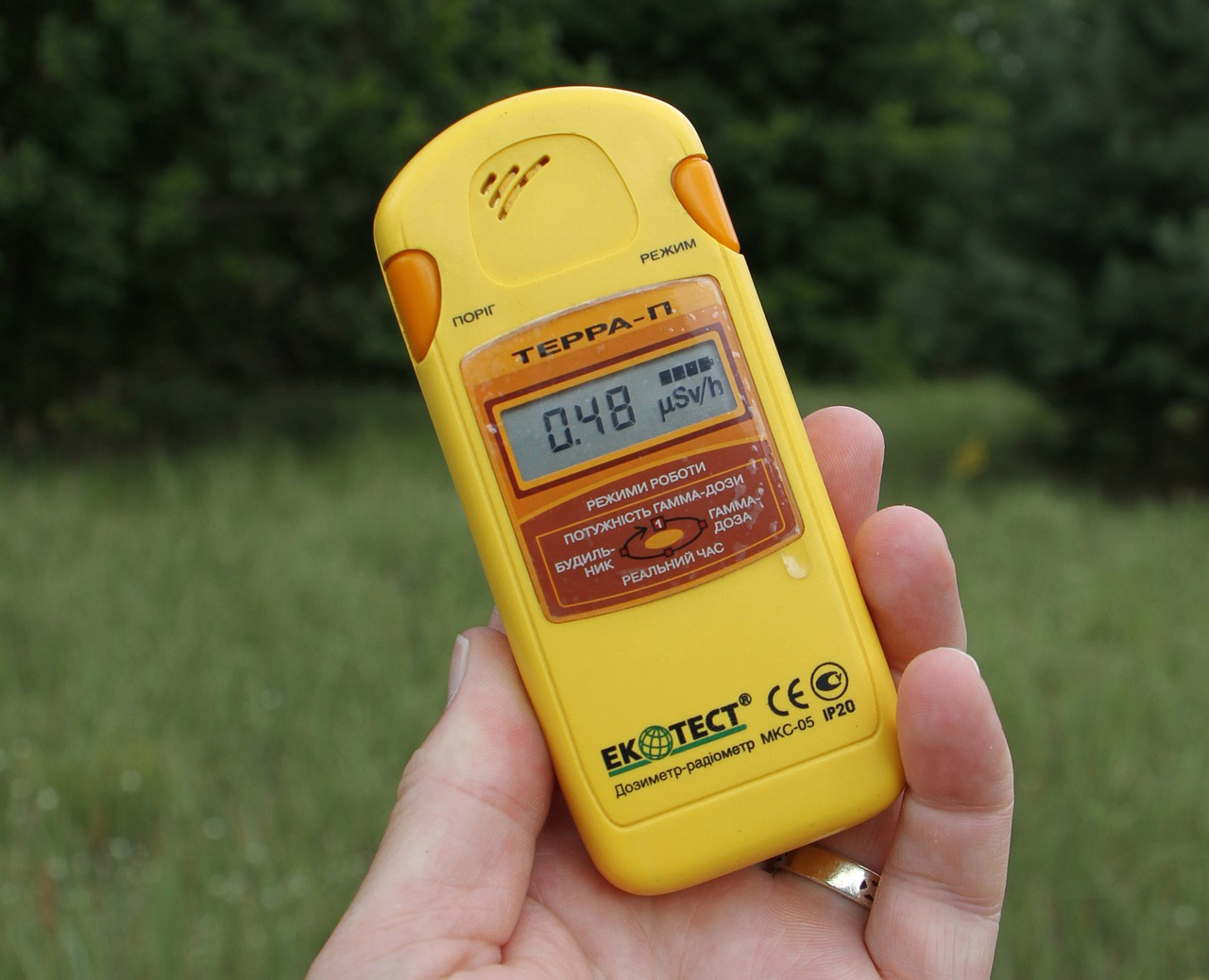
One of St. Himark’s largest employers is the Always Safe nuclear power plant. The pride of the city, it produces power for St. Himark’s needs and exports the excess to the mainland providing a steady revenue stream. However, the plant was not compliant with international standards when it was constructed and is now aging. As part of its outreach to the broader community, Always Safe agreed to provide funding for a set of carefully calibrated professional radiation monitors at fixed locations throughout the city. Additionally, a group of citizen scientists led by the members of the Himark Science Society started an education initiative to build and deploy lower cost homemade sensors, which people can attach to their cars. The sensors upload data to the web by connecting through the user’s cell phone. The goal of the project was to engage the community and demonstrate that the nuclear plant’s operations were not significantly changing the region’s natural background levels of radiation.
When an earthquake strikes St. Himark, the nuclear power plant suffers damage resulting in a leak of radioactive contamination. Further, a coolant leak sprayed employees’ cars and contaminated them at varying levels. Now, the city’s government and emergency management officials are trying to understand if there is a risk to the public while also responding to other emerging crises related to the earthquake as well as satisfying the public’s concern over radiation.
Note: reviewing the city description document may be helpful to understanding the landscape and character of the city.
Tasks and Questions:
Your task, as supported by visual analytics that you apply, is to help St. Himark’s emergency management team combine data from the government-operated stationary monitors with data from citizen-operated mobile sensors to help them better understand conditions in the city and identify likely locations that will require further monitoring, cleanup, or even evacuation. Will data from citizen scientists clarify the situation or make it more uncertain? Use visual analytics to develop responses to the questions below. Novel visualizations of uncertainty are especially interesting for this mini-challenge.
Visualize radiation measurements over time from both static and mobile sensors to identify areas where radiation over background is detected. Characterize changes over time.
Limit your response to 6 images and 500 words.
- Use visual analytics to represent and analyze uncertainty in the measurement of radiation across the city.
- Compare uncertainty of the static sensors to the mobile sensors. What anomalies can you see? Are there sensors that are too uncertain to trust?
- Which regions of the city have greater uncertainty of radiation measurement? Use visual analytics to explain your rationale.
- What effects do you see in the sensor readings after the earthquake and other major events? What effect do these events have on uncertainty?
Limit your responses to 12 images and 1000 words.
- Given the uncertainty you observed in question 2, are the radiation measurements reliable enough to locate areas of concern?
- Highlight potential locations of contamination, including the locations of contaminated cars. Should St. Himark officials be worried about contaminated cars moving around the city?
- Estimate how many cars may have been contaminated when coolant leaked from the Always Safe plant. Use visual analysis of radiation measurements to determine if any have left the area.
- Indicated where you would deploy more sensors to improve radiation monitoring in the city. Would you recommend more static sensors or more mobile sensors or both? Use your visualization of radiation measurement uncertainty to justify your recommendation.
Limit your responses to 12 images and 1000 words
Summarize the state of radiation measurements at the end of the available period. Use your novel visualizations and analysis approaches to suggest a course of action for the city. Use visual analytics to compare the static sensor network to the mobile sensor network. What are the strengths and weaknesses of each approach? How do they support each other?
Limit your response to 6 images and 800 words.
The data for this challenge can be analyzed either as a static collection or as a dynamic stream of data, as it would occur in a real emergency. Describe how you analyzed the data - as a static collection or a stream. How do you think this choice affected your analysis? Limit your response to 200 words and 3 images.